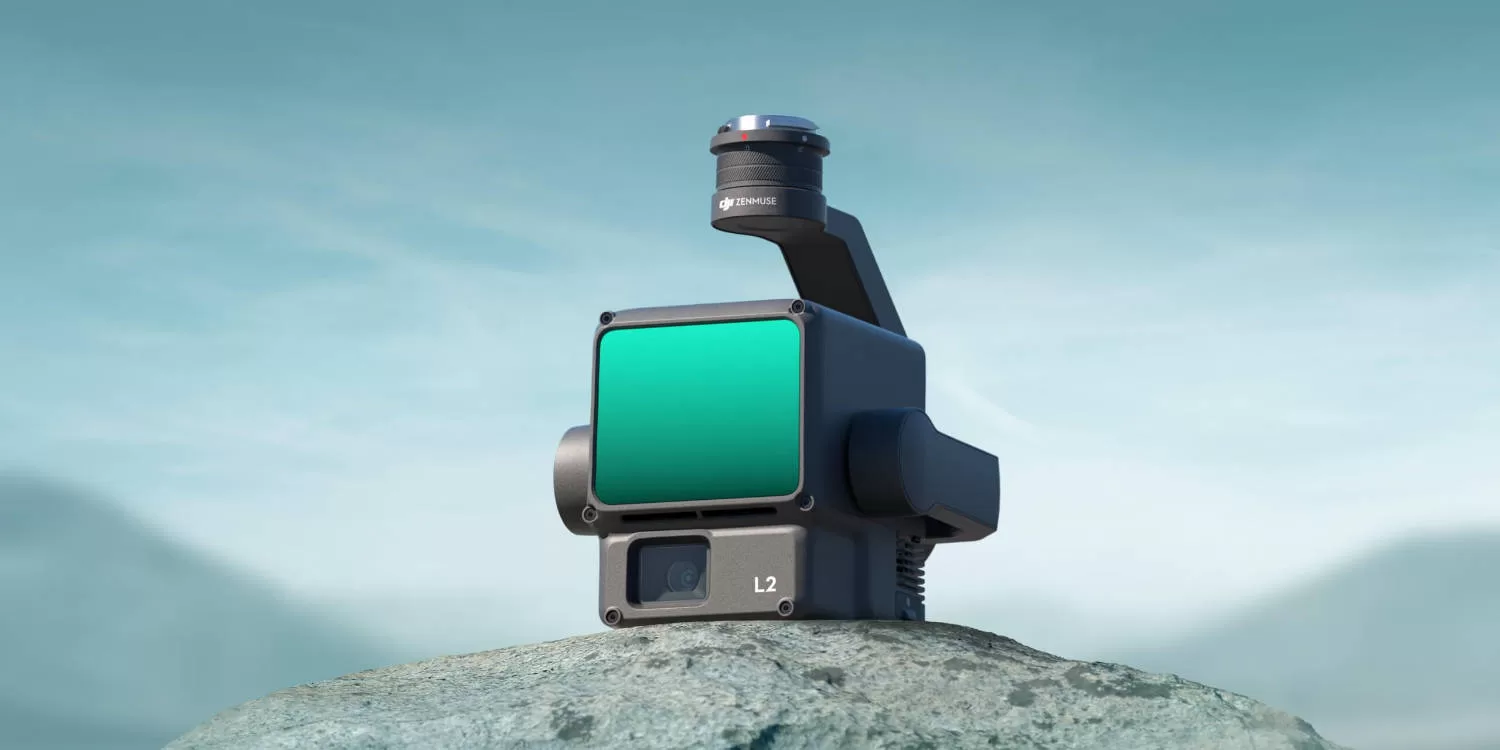
DJI Zenmuse L2 builds on the success of the L1 with improvements to precision, efficiency, and reliability thanks to an updated LiDAR module, camera module, and self-developed DJI IMU.
DJI Zenmuse L2
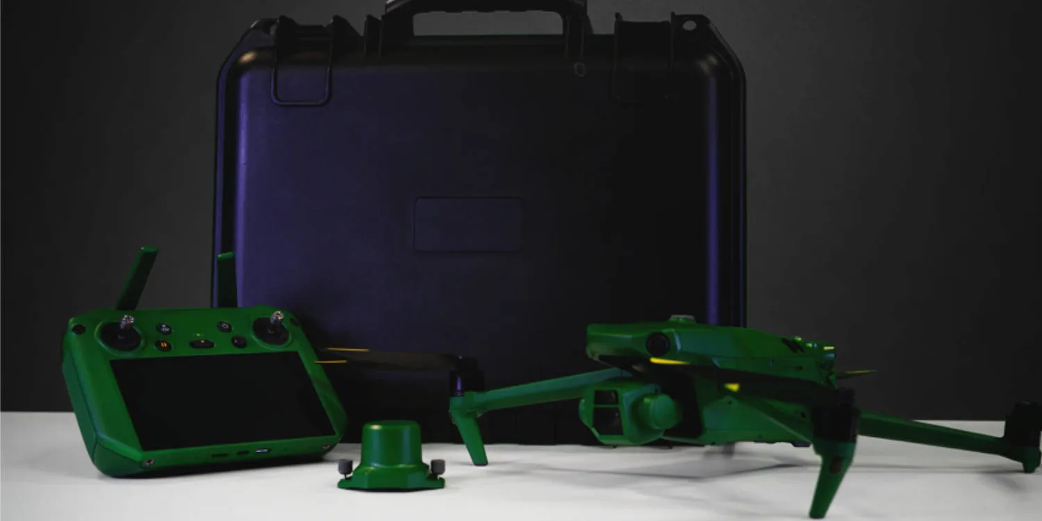
Zenmuse L2 features an improved LiDAR sensor, self-developed IMU system, 4/3 CMOS RGB camera, and is compatible with the DJI Matrice 300 (with DJI RC Plus) and Matrice 350 RTK enterprise drones. L2 can collect data from a 2.5km area in a single flight.
The Zenmuse L2 boasts a 30% increase in detection range, detecting objects from 250 metres at 10% reflectivity and 100k Lux and up to 450 metres at 50% reflectivity and 0k Lux in comparison to its predecessor the Zenmuse L1. The typical operational altitude now extends up to 150 metres, notably enhancing operational safety and efficiency.
With a reduced spot size of 4×12 cm @100m, only a fifth of that of the Zenmuse L1, the Zenmuse L2 not only detects smaller objects with more details, generating more accurate digital elevation models (DEM) but supports five returns, capable of penetrating denser vegetation and capturing more ground points beneath the foliage.
In both single and multiple return modes, Zenmuse L2 can reach a max point cloud emission rate of 240,000 points per second, allowing the acquisition of more point cloud data in a given time frame.
The sensor’s RGB mapping camera features a 4/3 CMOS with a mechanical shutter and enlarged pixel size to 3.3 μm. The effective pixels now reach 20 MP, resulting in a significant improvement in overall imaging. The minimum photo interval has been reduced to 0.7 seconds and the mapping camera has a shutter count of up to 200,000 times.
